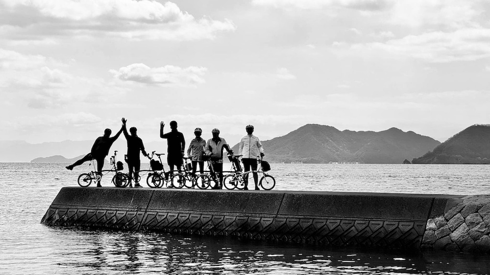
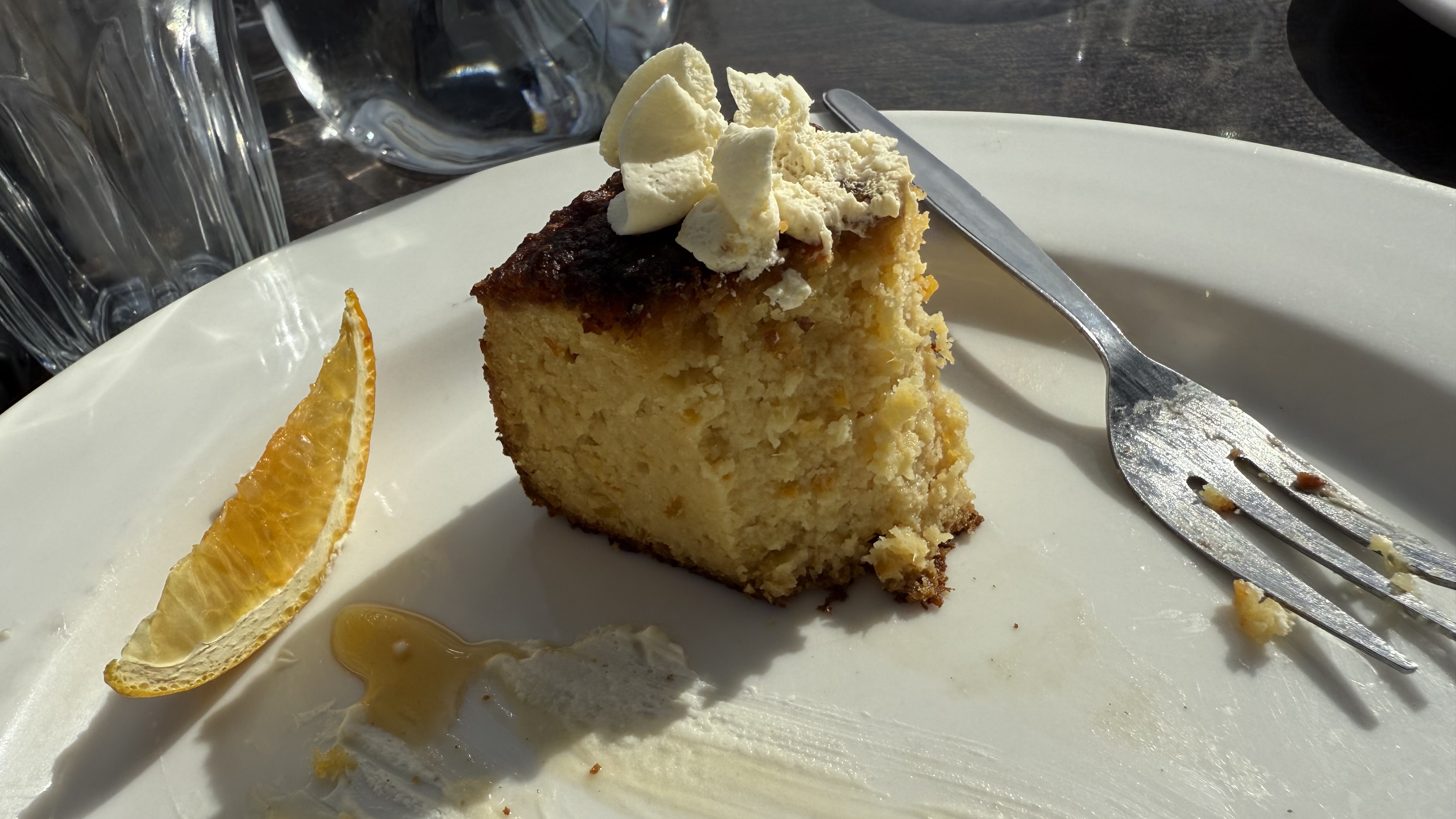
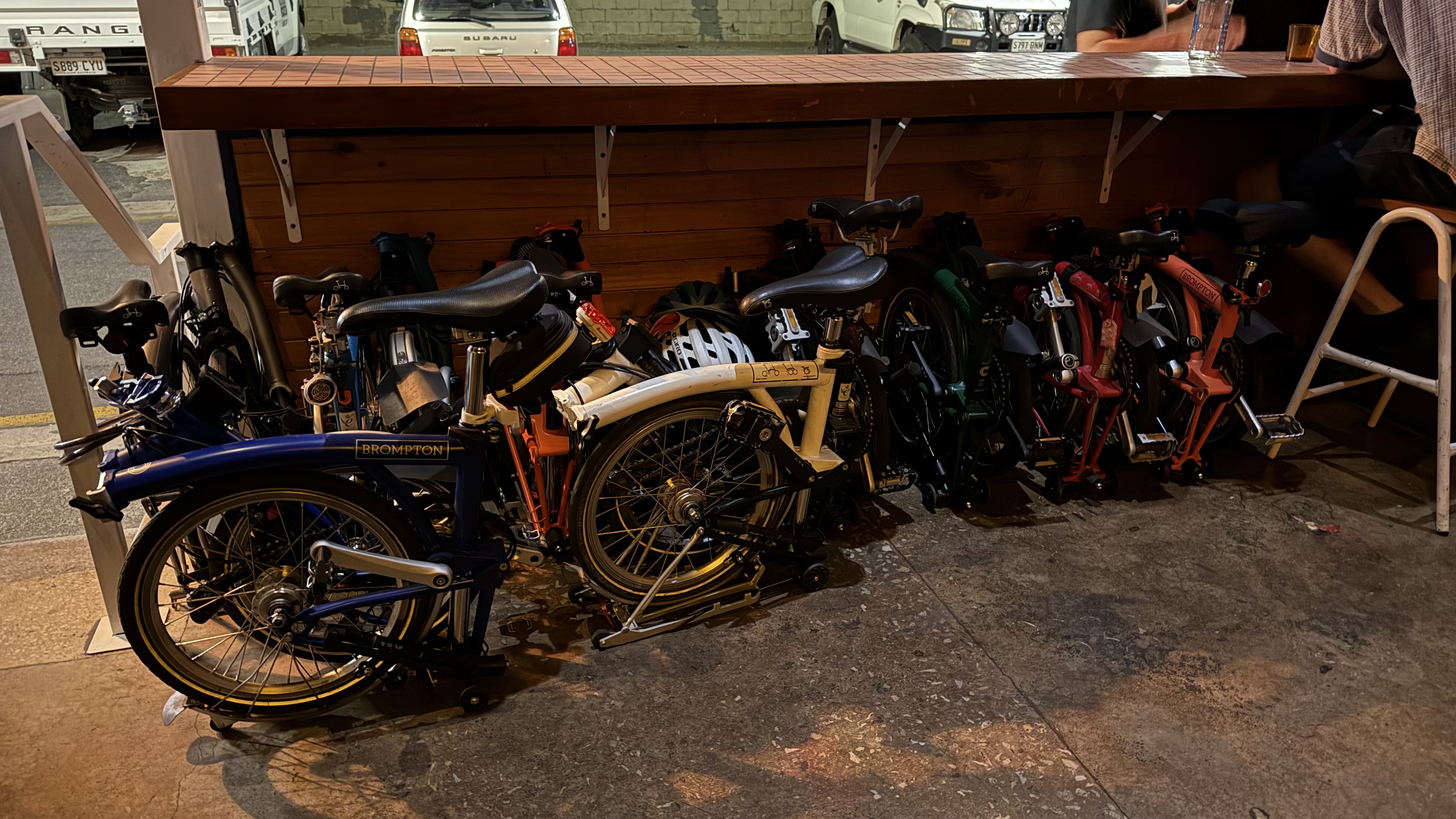
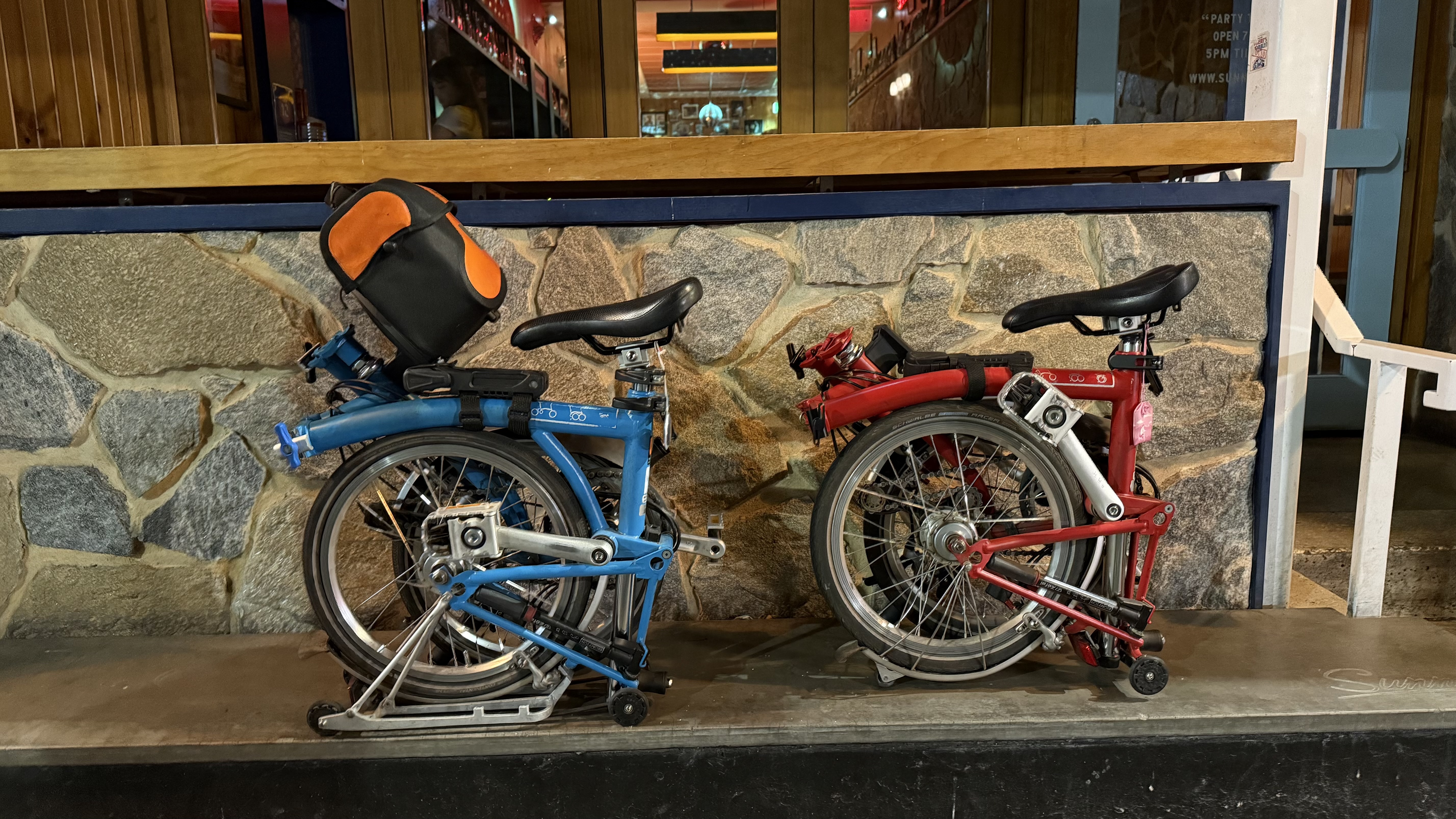
This blog started more than twenty years ago with our 2004 trip to the United Stated and Canada. This holiday was a turning point in our lives – we came back knowing that we needed to get fitter. It was, in some ways, the true genesis of our riding life and ultimately our life and travels with Brompton Bikes.
As I looked back over our first blog, I recall what it was like trying to blog without an iPhone. We had to rush into local internet hotspots in libraries and such. The big issue was whether we could even get the photos off our camera to upload. There were plenty of promises to upload photos later. 20 years later, I have now uploaded the missing photos and corrected some spelling mistakes! If you are interested, you can revisit our 2004 holiday. See our 33-year-old selves by following this link > https://bromptoneering.blog/category/bromptoneering-or-bust/2004-usa/?order=asc
Since the first post about our itinerary in 2004, we posted 979 other posts (including this one) from all over the world. Our first trip had a total of 54 posts.
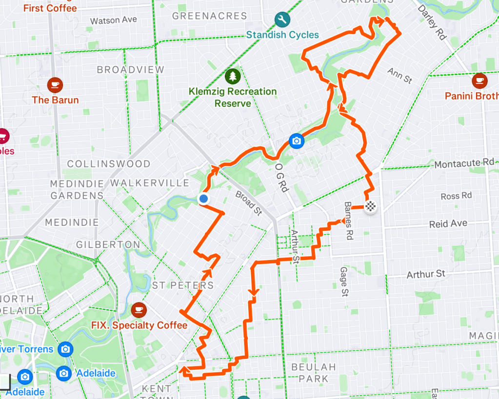
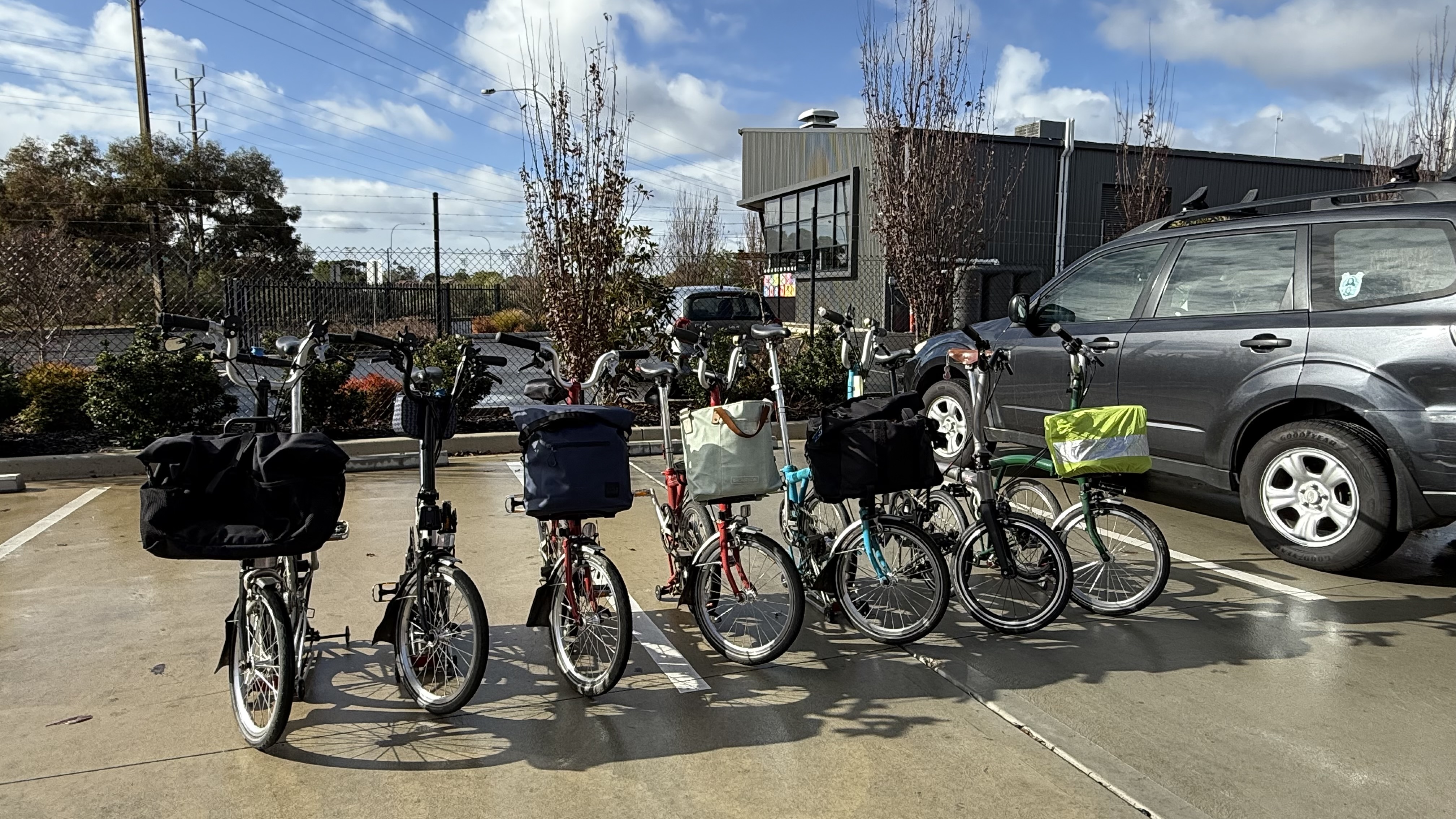
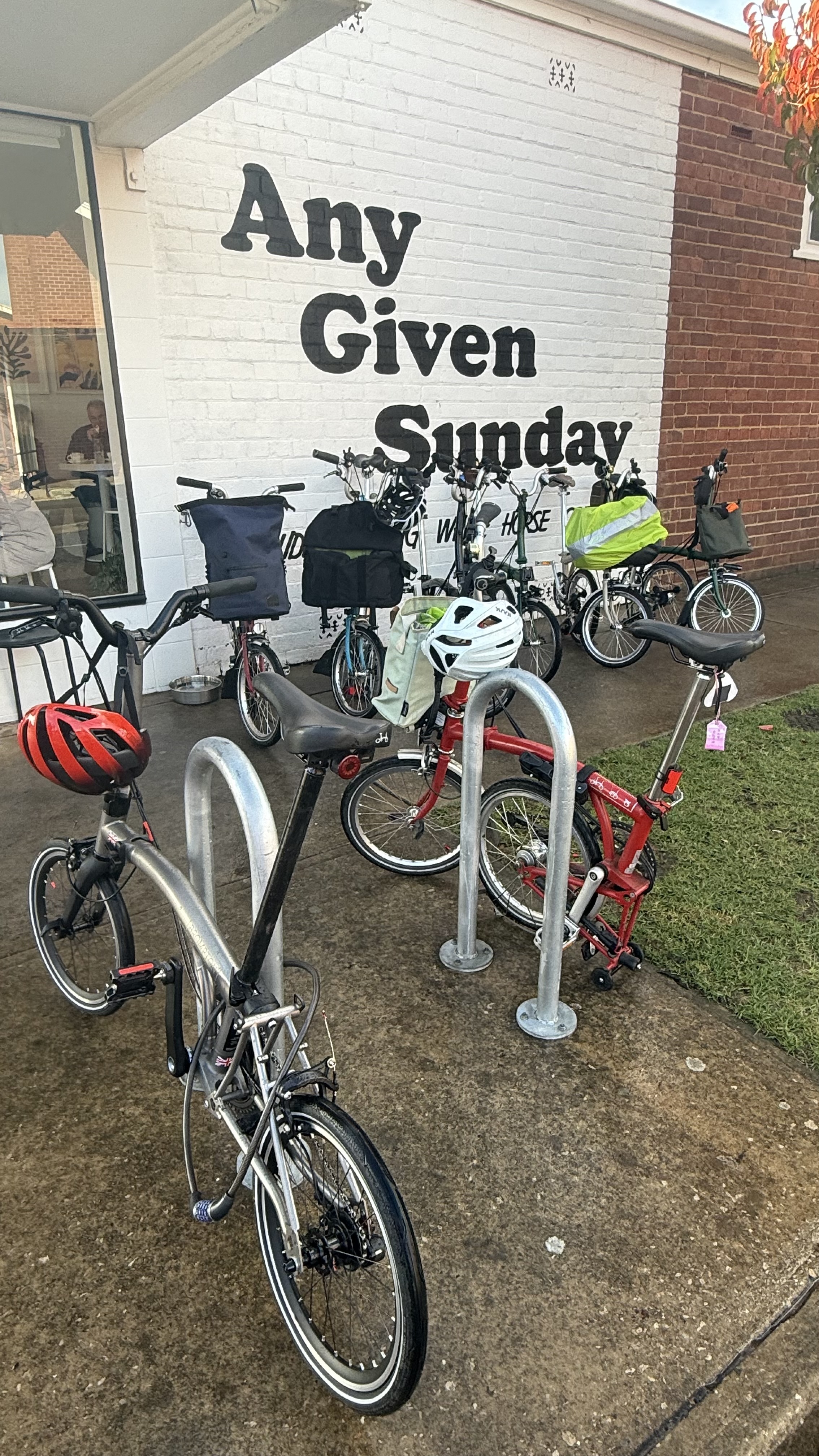
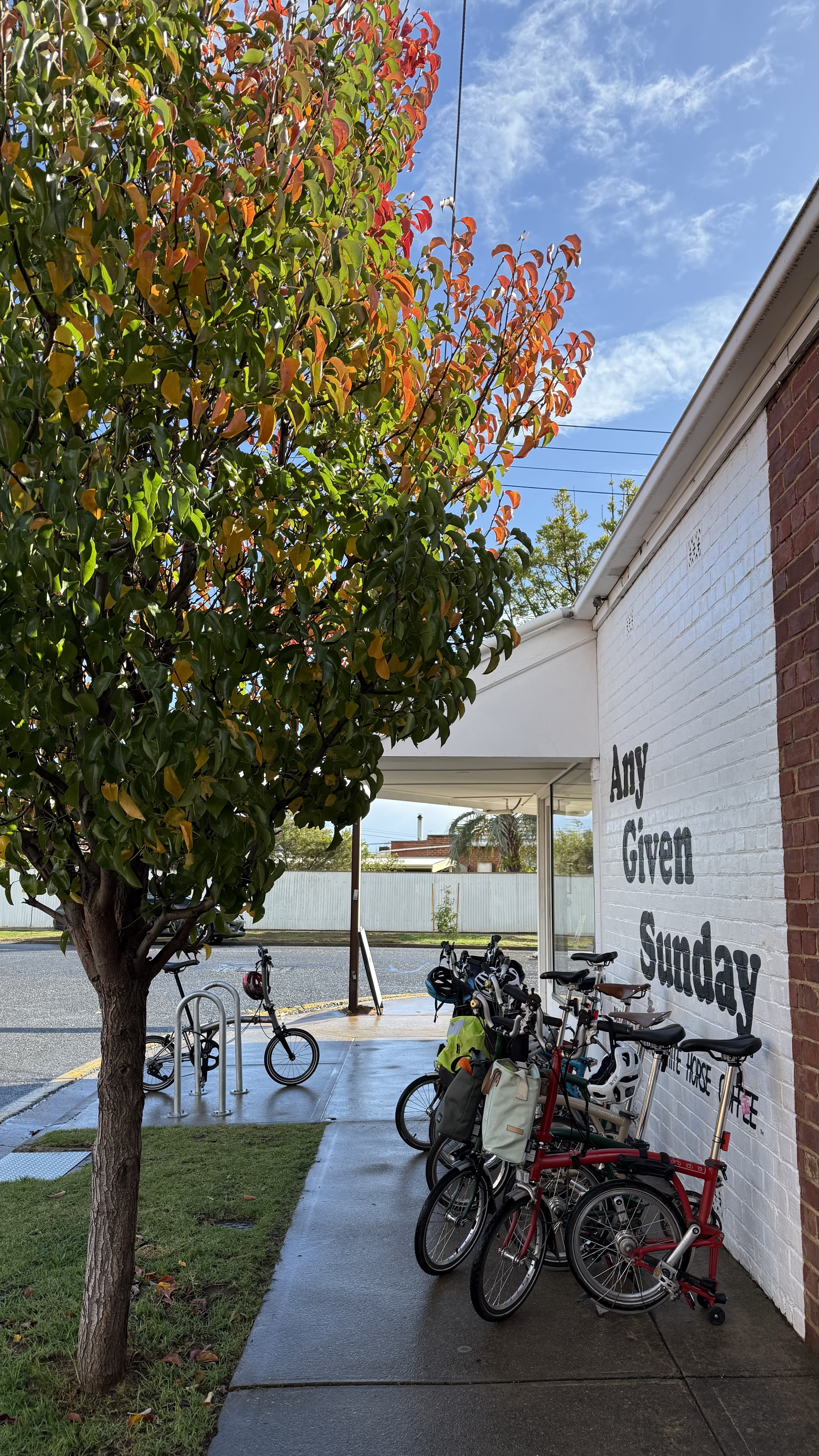
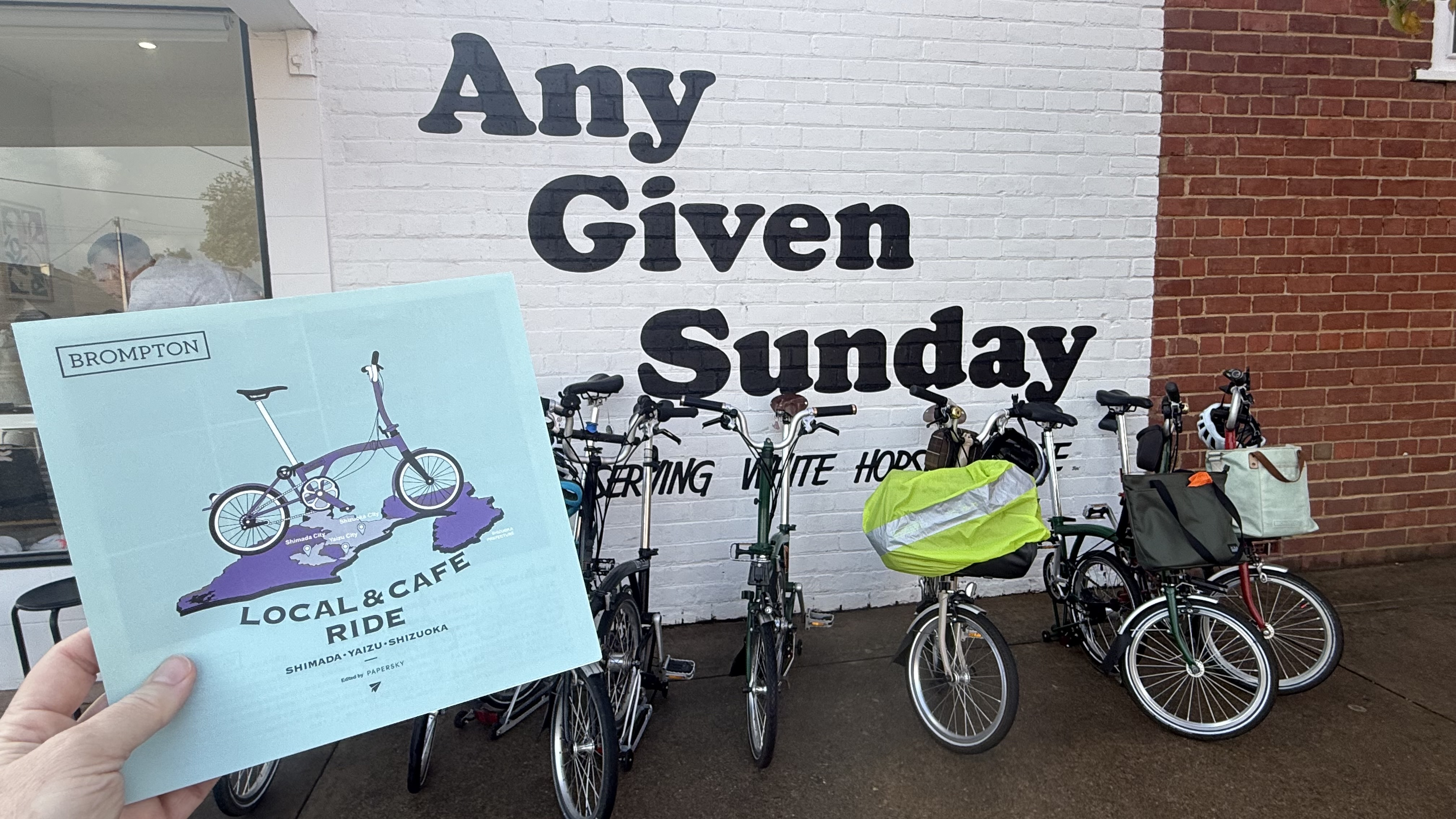
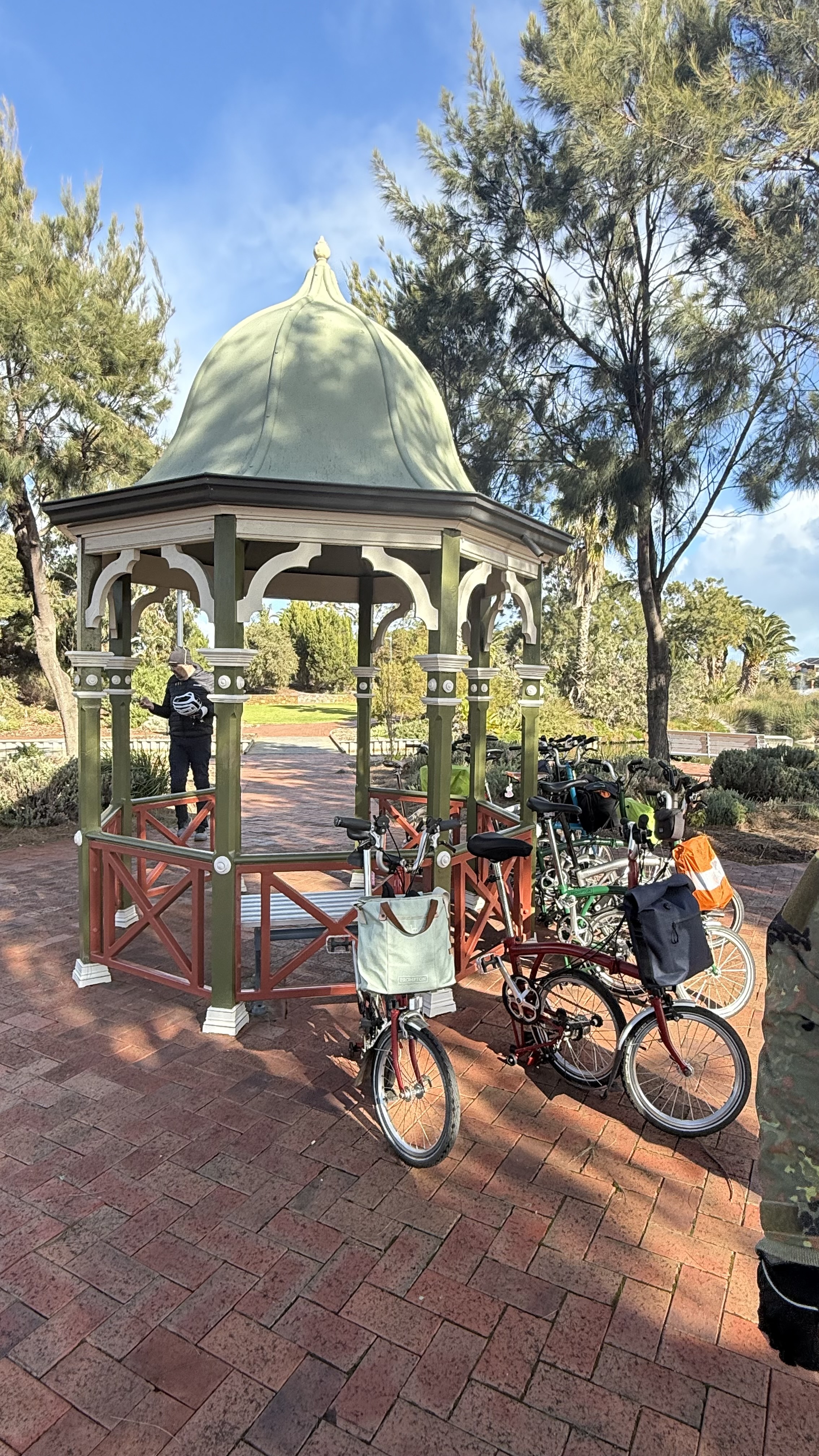
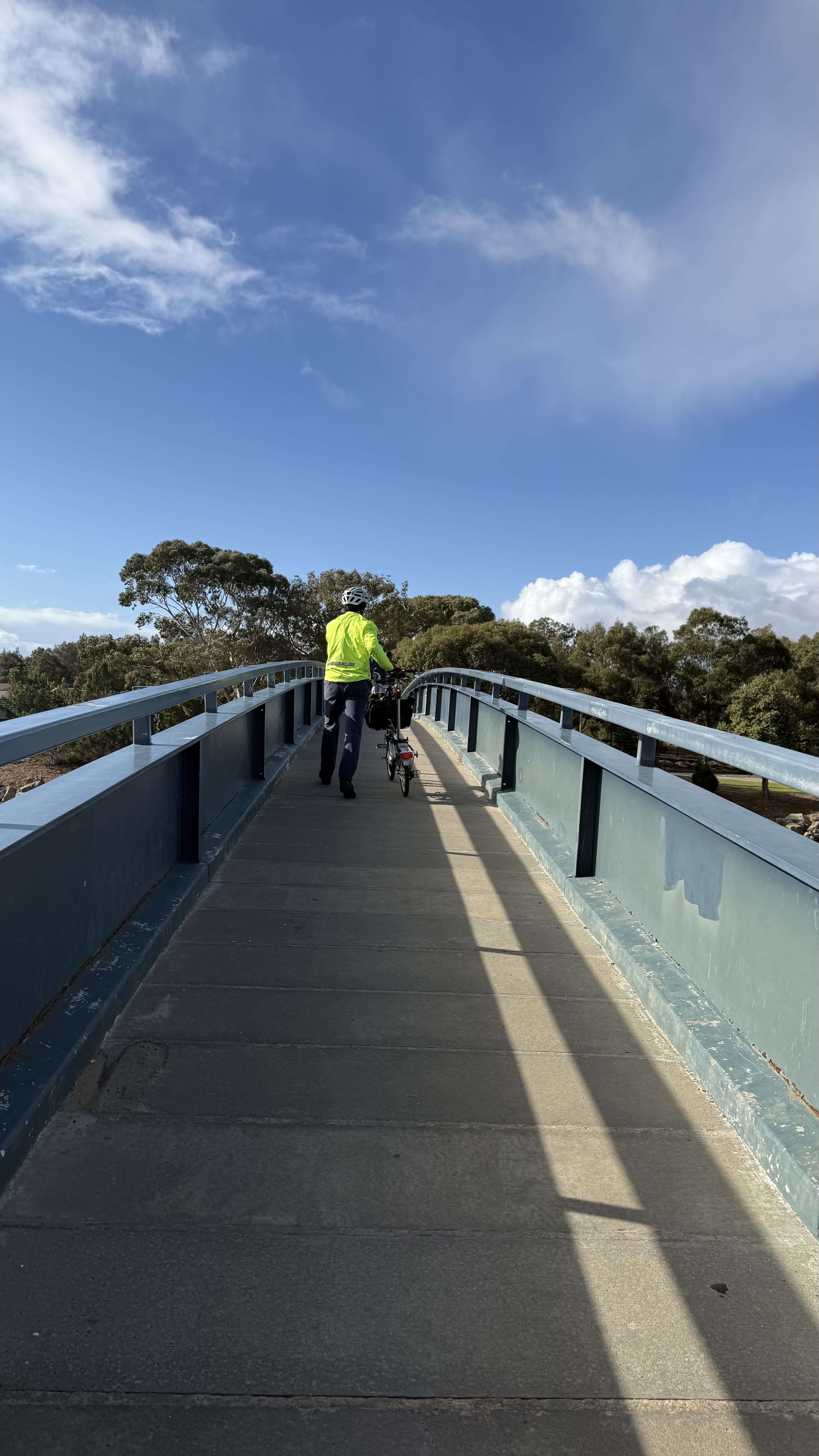
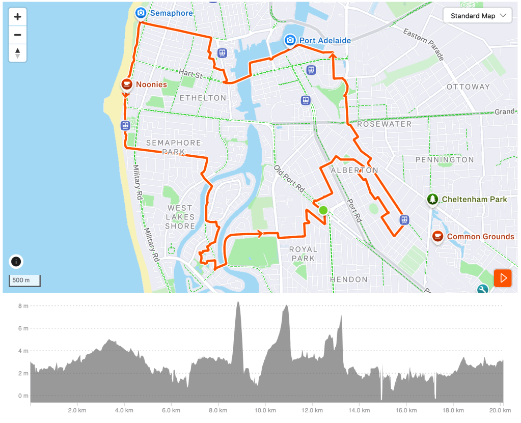
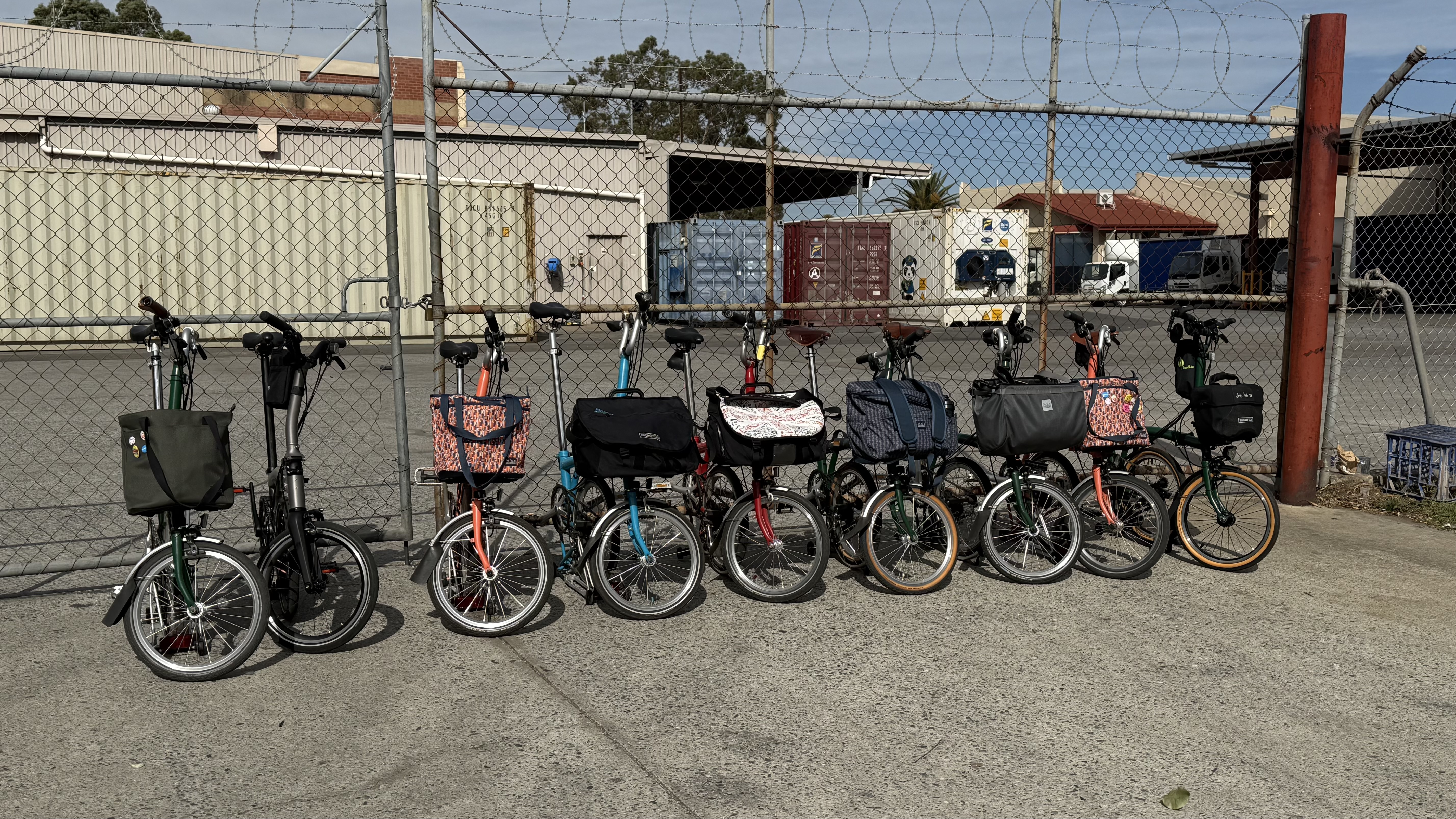
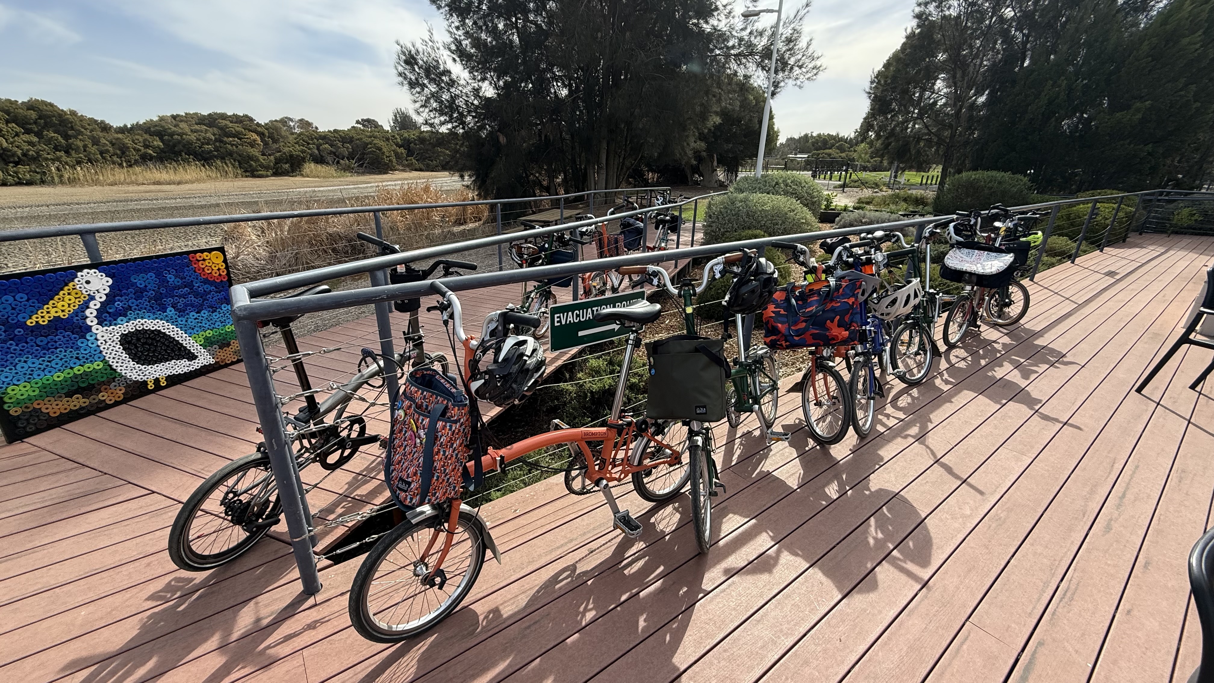
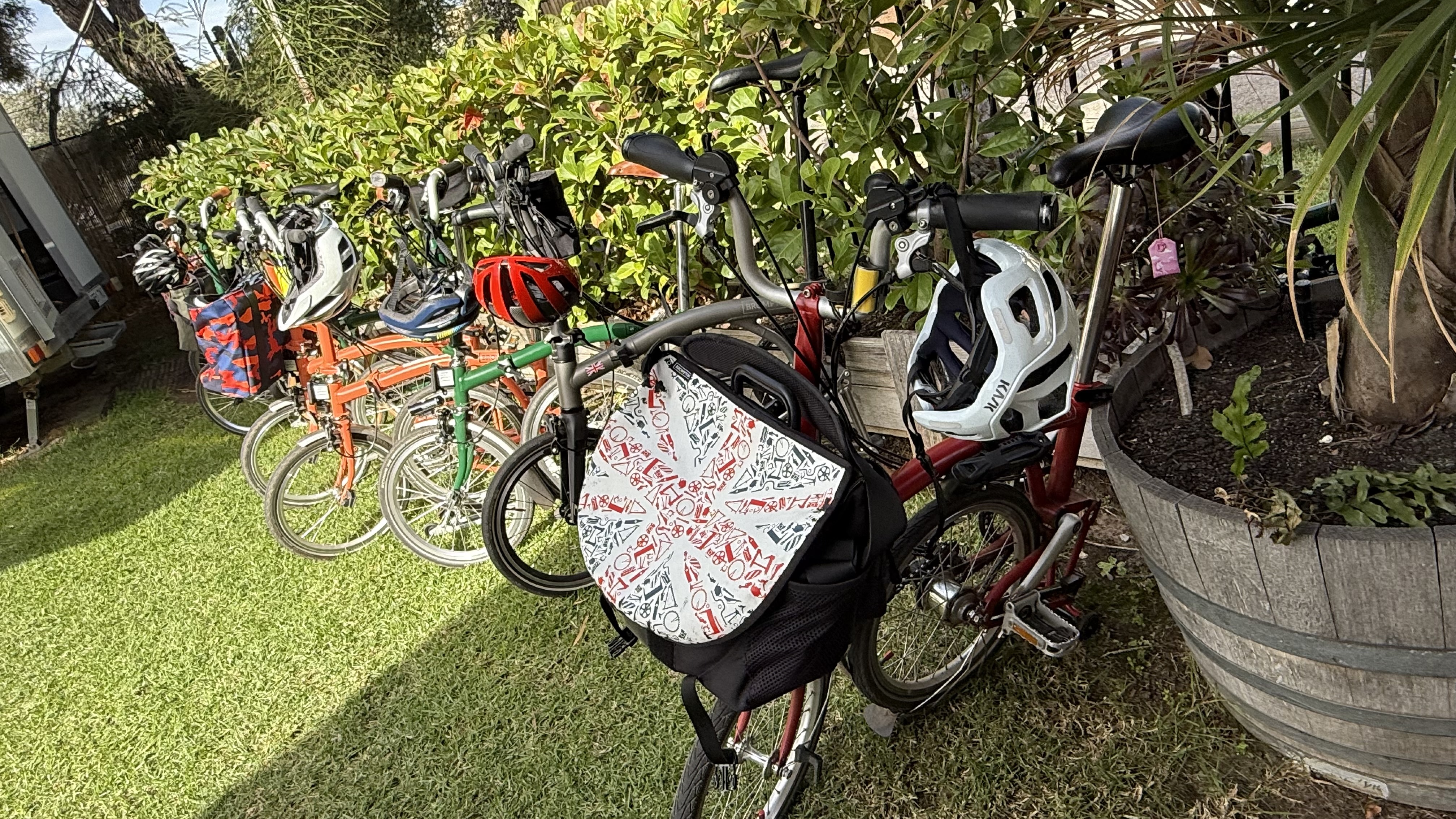
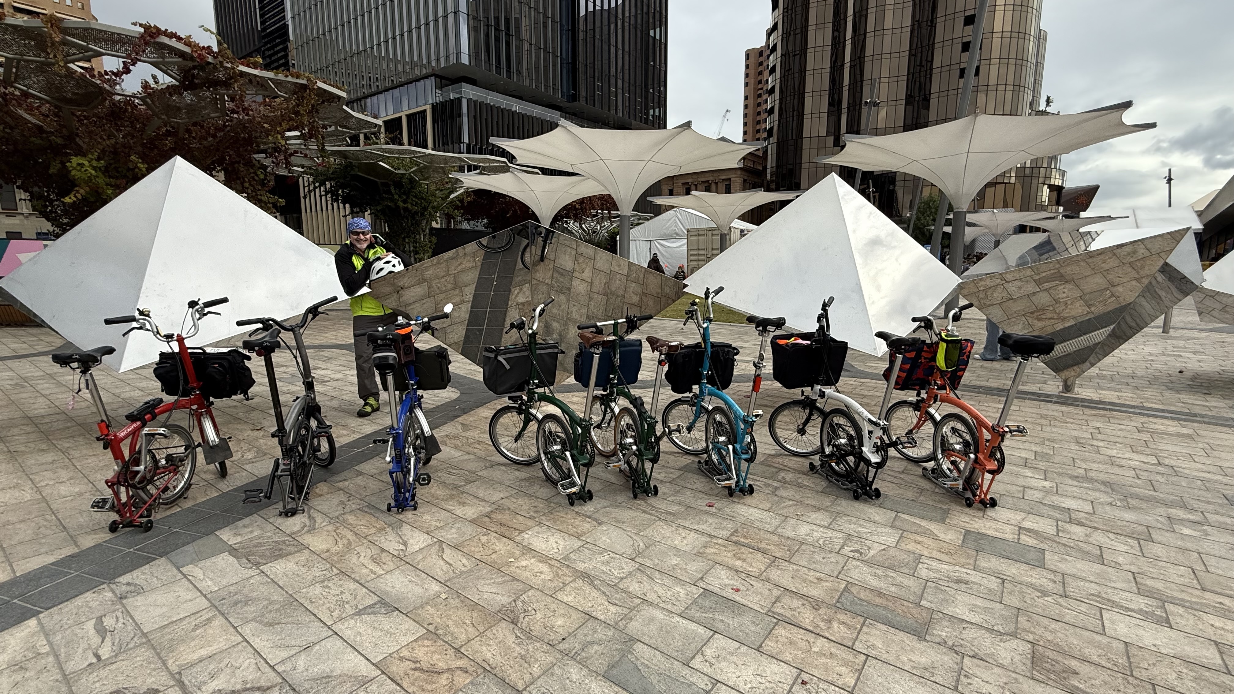
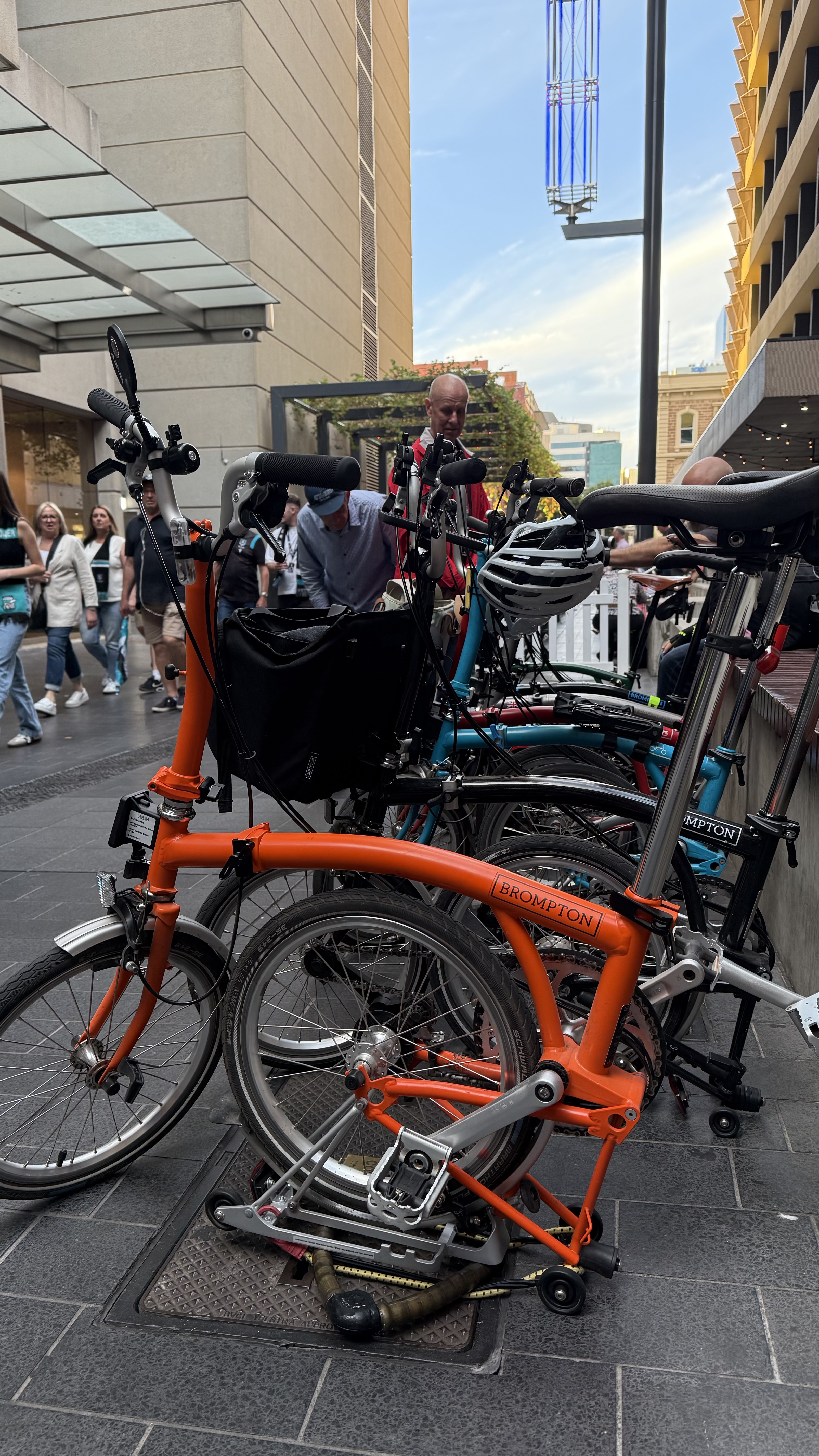
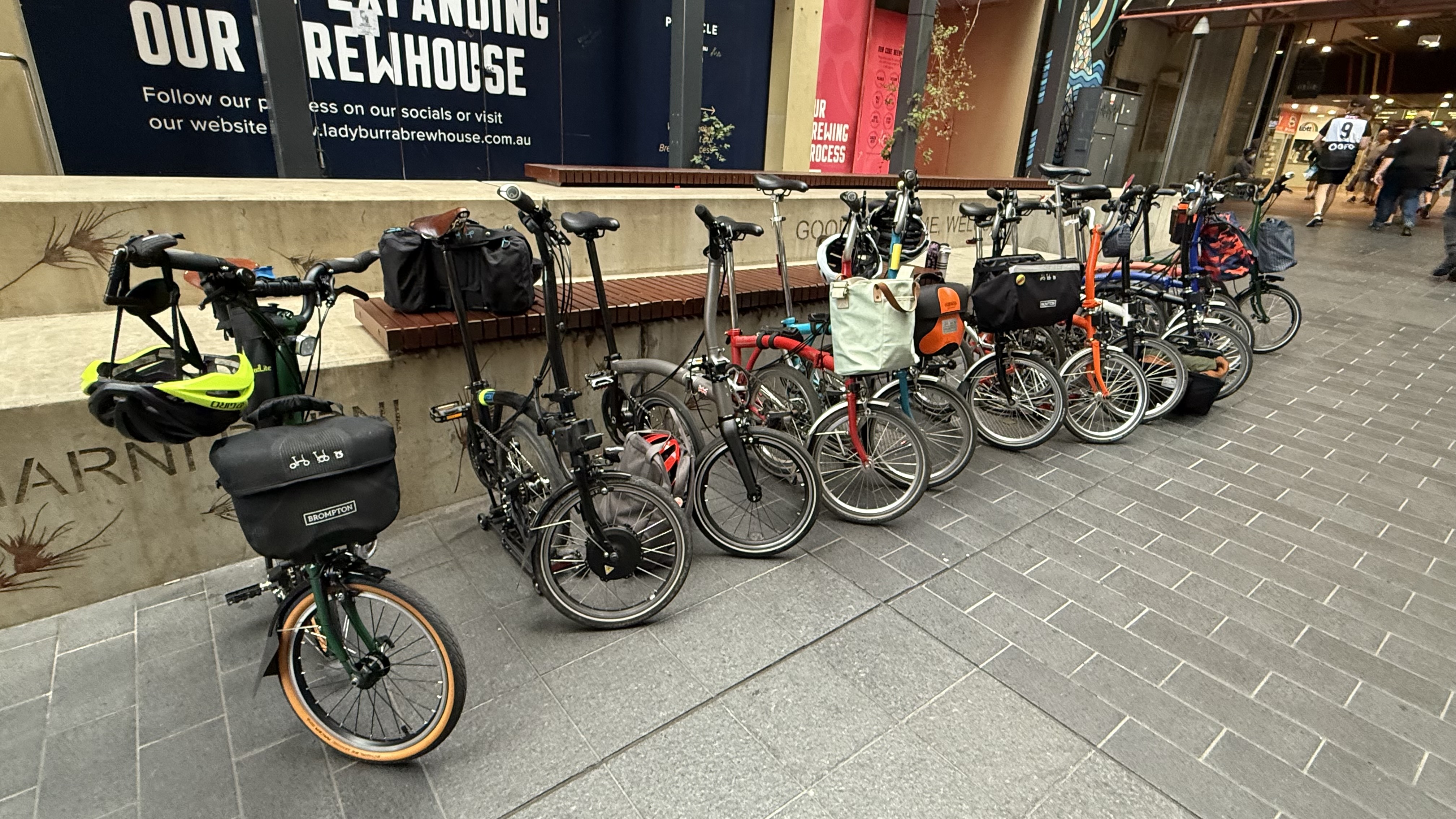
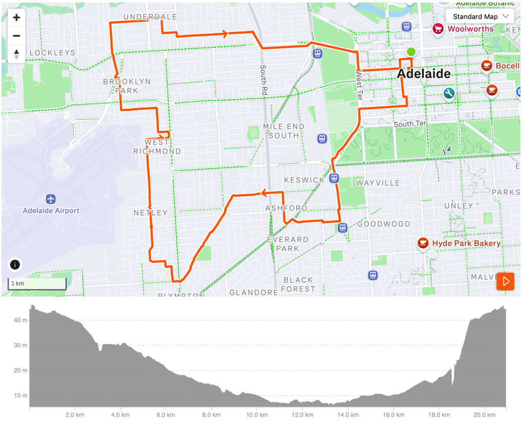
In 2025 and beyond we will continue with our travel blogging. We are, however, going to add some posts about riding in Adelaide both with and without Brompton Bikes. So if you have already subscribed to this blog you will receive all of the posts. If you would like to change that, visit the blog site. You can select the sort of posts you want to get.
Did we enjoy our riding in Shimabara? The answer is a big yes.
It might have been because Shimabara is making an effort to support cycling tourism. The Goigoi Ikomon website ( in Japanese) has a a lot of useful information and routes (in GPX form).
But that’s not the reason.
We were planning to do part of the Shimabara Peninsula 1 Lap Route. We were took the train to from Nagasaki to Kobe and planned to ride the route to Shimabara City.
When we had a look at the route we could say that it followed the national road route 251. It also implied that there some bike infrastructure maintained.
This route is not the Shimanami Kaido. It was a busy truck route and so we rode a kilometre or two and decided to abandon the original plan. I was looking for a photo of the busy road – but we didn’t take any. You’ll just have to trust is that there were a lot of cars and trucks. So I have included a picture of the cute train instead.
We used our Beeline App to place a few points along the route they were off the main truck route and let it work its magic. Within a few minutes we had a route of quiet byways. Much more fun and interesting.
Here is an important piece of advice. Just because someone promotes a route as suitable for cycling doesn’t mean it is. At least in Japan there usually is a nearby quiet route that you can take instead. So if it doesn’t feel right then change your plans – either do another route or take the train instead.
I am certainmy glad we stopped and opted for plan B. I still think checking out the Goigoi Ikomon website especially for the hill climbers who want some more challenging and less busy routes.
Here are some more photos from this ride.
We also plotted out a loop ride for the next day. This route is just over 20km with 219 metres of climbing. It is also available on Strava.
It took in many of the interesting spots around Shimabara. Here are some photos from this bike route to whet your appetite.
I am pleased to report that we had pretty good weather for the three days of riding on Fukue Island. Cold but not wet with some wind gusts – but not too bad overall.
We used Goto city as our base for a three loop rides.
Our rides suggests that there are plenty of quite back roads to ride on. Where we experienced a national main road they had well made bicycle/pedestrian paths alongside – including through the two tunnels we took. Overall I consider the routes to be generally safe.
There are whole island touring routes that I would certainly like to come back to do. It requires more time than we had. Also, accomodation on the other side of the island would require more planning especially if you’re an English speaker!
Day 1
The first day involved a ride out to Tomie Town a fishing village with 6,000 residents. With a stop along the way for bread, cakes and coffee at wondertrunk&co travel bakery.
The return leg came back via the airport.
The total distance of the route was 32.5km with 470m of climbing. The routes on Strava are available in two parts.
The second day was a loop route that visited Dozaki Church Museum. “Dozaki church is a full-scale, redbrick, gothic-style church built in 1907 and dedicated to the 26 Martyrs of Japan by Bishop Cousin in 1908. As it was the first church built after the ban on Christianity was lifted, it became a model for other churches built in Goto. … The church is now a museum displaying many items relating to the history of Christianity in Goto. These include items which held significance for the Hidden Christians. In 1974, the building was designated a Tangible Heritage of Nagasaki Prefecture.”
There was also plenty of seaside and hillside scenery. There are some good food options along the way. But check to see if they are open when you plan to be there. We enjoyed pizza and pasta at Gino.
Our final day was shorter to make sure we could get back to the ferry in time. This time we cycled along a sea wall and then around Minodake, the lava coast and around Onidake. Helen has already told you about it and shown you a bunch of photos!
Nagasaki is a compact and hilly city. The low bits and key attractions can be covered easily by bike with a short circular route like the one we did. In total it’s about 14kms.
From this route you can cover the key shopping areas, cafes, art gallerys, peace park, some pretty shore paths. Just be mindful that Nagasaki is definitely a car based city with some busy main roads. The back streets, however, are quiet.
Some quiet areas suitable for bike riding are unfortunately prohibited. This is disappointing given that the Nagasaki prefecture is promoting cycle tourism. You’ll have to apply your judgement in those circumstances.
It has been a while since I’ve posted. That’s because the most excellent social media manager has things under control. While my job has been to provide general direction for riding, food etc. But as we enter the second phase of our trip, I hope to have more time to reflect on some of our activities. Right now I am laying on the day bed in our relatively large and excellent value hotel room. The social media manager is in bed adding photos to the bevy of posts she wrote on the plane from Tokyo.
Here’s my view right now.
Here are some media from the airport. Spot Fuji and checkout the robot wheelchair.
1) The Tatara Ohashi Bridge which opened in 1999 and is 1480 metres long. It connects Ikuchijima with Omishima.
2) The Omishima Bridge which opened in 1979 and is only 328 metres long. It connects Omishima with Hakatajima.
3) The Hakata-Oshima bridge which opened in 1988 and is 1165 metres long. From its name you can tell that it connects the islands of Hakata and Oshima.
4-6) Finally the Kurushima Kaikyo Ohashi bridges which together are 4.15 kilometres long. They opened in 1999. They connect the islands of Ohshima, Mushijima, Umashima and Shikoku. We rode up a steep hill for 3.5 kilometres and withstood gale force winds to get you this photo. As we rode across the ropes of the bridge we’re being played like a violin by the strong wind!
This is Innoshima Bridge. It is a suspension bridge that is 1,270 metres. We rode the second deck. It is the third longest bridge along Shimanami Kaido and the longest we rode today.